Sheet A-8-CEUS-SSC Project GIS Data Summary
Precambrian Geology and Features after Reed (1993)
Download: ![]() Download GIS Data |
Download GIS Data | ![]() Download PDF Figures for Technical Use
Download PDF Figures for Technical Use
Data Files:
CEUS_pc_AnomaliesDikes_Reed1993_R0.shp
CEUS_pc_FaultsContacts_Reed1993_R0.shp
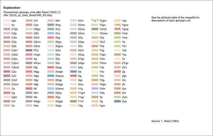
Data Description: Data set created from Reed et al. (1993): Map of the Precambrian rocks of the Conterminous United States and Some Adjacent Parts of Canada. Faults, dikes, anomalies and geologic units are presented in separate shapefiles.
Source (Internet URL, CD/DVD-ROM): Digitized from published map.
Author/Publisher/Year: Reed, J.C., Jr., 1993, Map of the Precambrian rocks of the conterminous United States and some adjacent parts of Canada: in Reed, J.C., Jr., et al. (editors), Precambrian: Conterminous U.S.: Boulder, Colorado, Geological Society of America, Geology of North America, v. C-2, plate 1.
Data Summary: This data set was created by digitizing contacts, faults and other features to create lines representing faults, dikes, and other linear features, and polygons representing Precambrian geologic units. Faults and other features were attributed according to the information presented in the published map. Digitized at a scale of 1:5,000,000.
Disclaimer or Constraints on Use: No constraints have been identified.
Figure A-8a
Precambrian geology and features after Reed (1993)
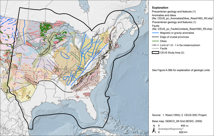
Figure A-8b
Explanation of Precambrian geology and features after Reed (1993)